
Situation
Bank erosion, meander migration and past landslides were progressively encroaching toward a municipal road. Existing protection did not fully explain or arrest the process, and the hazard varied substantially between bends and soil units.
Water · Erosion · Morphodynamics · Mapping
Using coupled hydraulic and meander-migration modeling to translate channel processes into targeted infrastructure-protection decisions.
Project overview
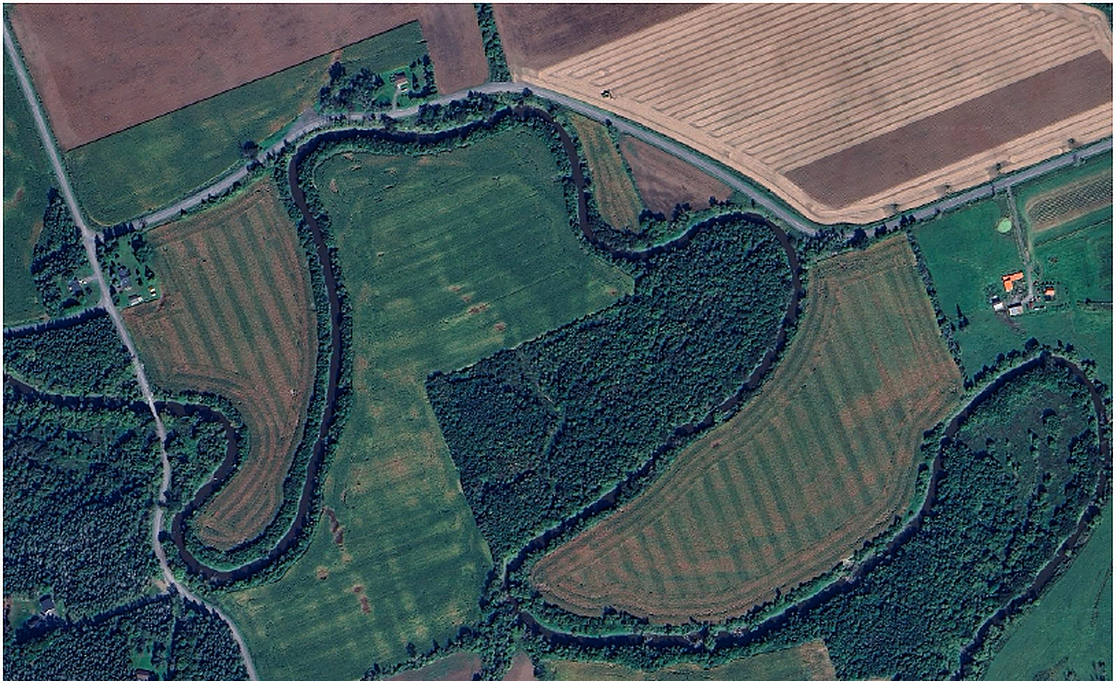
Bear Brook Creek presented a practical infrastructure problem: an actively meandering watercourse and recurring bank instability were reducing the separation between the channel and a municipal roadway. Rather than relying only on a generic erosion setback, the study quantified how discharge, soil erodibility, channel geometry and bend hydraulics affected the rate and location of bank recession so that mitigation could be targeted to the actual mechanism.
Situation
Bank erosion, meander migration and past landslides were progressively encroaching toward a municipal road. Existing protection did not fully explain or arrest the process, and the hazard varied substantially between bends and soil units.
Task
Estimate where erosion and migration were most significant, test whether observed failures were consistent with the hydraulic processes, and compare practical mitigation concepts without overbuilding the entire reach.
Approach
Couple 1D JP Meander migration modeling with 2D FaSTMECH velocity and shear-stress fields, historical hydrometric data, terrain information and soil-dependent critical-shear/erodibility relationships. Evaluate how landslide deposition and bend geometry alter local stresses, then screen localized armoring and river-training concepts such as vanes against the modeled hazard.
Result / client value
The models reproduced the importance of bend-scale conditions and showed that mean channel values alone can hide the near-bank processes controlling erosion. The work supported targeted protection at the vulnerable bends and highlighted where river training could reduce hydraulic attack. For a municipal owner, the key value is directing capital to the specific process and location driving risk rather than applying uniform protection everywhere.
Why it matters
Related work
ShearLine can support owners directly or work as a specialist partner within a larger engineering team.