

Geophysics
Interpret and visualize ERT/A-ERT and other sensing datasets in a repeatable engineering workflow.
Technology
Purpose-built computational tools that connect field measurements, numerical models and spatial data to engineering decisions.

Ground Sentinel
What it is: Ground Sentinel is ShearLine’s sensing and integrated modeling workspace for geophysics, ice, mapping, numerical analysis and monitoring.
Who it is for: infrastructure owners, engineering teams, consultants and technical specialists who need to turn large or complex field datasets into defensible engineering outputs.
Why it matters: the platform is designed to reduce repeated data handling, focus field investigation, standardize analysis workflows and make technical results easier to review and communicate.
Discuss Ground Sentinel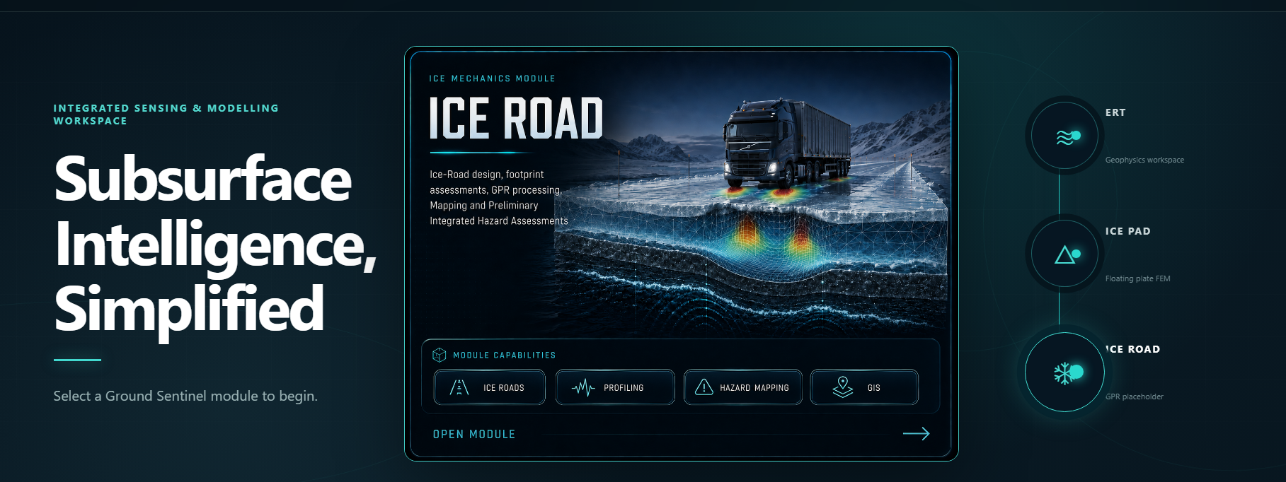
Keep interpretation, mapping and model outputs connected to the same project evidence.
Use spatial and sensing information to focus investigation where added data has the most value.
Repeat engineering workflows consistently across datasets, time steps and project locations.
Move from specialist outputs to maps, graphics and engineering summaries clients can act on.
Interpret and visualize ERT/A-ERT and other sensing datasets in a repeatable engineering workflow.
Combine GPR-derived thickness, vehicle loads and plate mechanics for ice-road and ice-pad assessment.
Connect corridor layers, hazards, observations and model outputs in one spatial decision environment.
Run or post-process numerical analyses and keep model outputs tied to the evidence used to build them.
Bring thermal, groundwater, strain and other time-series data into the same project context.
Built by engineers